
HKRIT Space-Time Intelligent Systems Engineering Center Successfully Convenes Low-Altitude Economy and Data Elements Sub-Forum
From September 5 to 6, 2026, the 6th National Conference on Spatial Information Industry and International Standardization was held in Xi’an. The conference was jointly hosted by the China National Committee of the International Society for Digital Earth, the Chinese Society for Geodesy, Photogrammetry and Cartography, and the Shaanxi Bureau of Surveying, Mapping and Geoinformation of the Ministry of Natural Resources, and co-organized by the CNISDE Spatial Information Industrialization Committee and the Institute of Surveying and Mapping Standardization of the Ministry of Natural Resources, among others. With the core theme of “AI and Standardization Jointly Advancing the Development of Aerospace Information Industry,” the conference brought together more than 300 academicians, experts, scholars and enterprise representatives from the spatial information field to gather in the ancient capital of Xi’an for in-depth discussion and exchange.
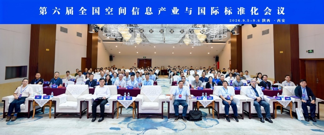
Photo 1: Group photo of all committee members at the 6th National Conference on Spatial Information Industry and International Standardization
The Space-Time Intelligent Systems Engineering Center (hereinafter referred to as “the Center”) of the Hong Kong Research Institute of Technology (HKRIT), in collaboration with Zhejiang Zhonghe Technology Co., Ltd. (000925), and together with Hygon Information Technology Co., Ltd. (688041) and Beijing Qingyuan Siwei Technology Co., Ltd., successfully convened and chaired the Low-Altitude Economy and Data Elements Sub-Forum. The sub-forum brought together forces across computing power, platforms, data, security and applications to establish a complete value loop from research to industry — “computing power as the foundation, data as elements, security facilitating circulation, and applications driving value-added” — and to explore the critical leap of the low-altitude economy from technical validation to large-scale application.
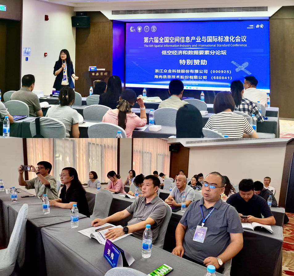
Photo 2: Scene of the sub-forum
The Beijing International Big Data Exchange presented a report titled “Practices and Pathways for Data Valorization of Spatial Information Enterprises,” establishing a value transformation chain of “resource—product—asset—capital” for data, and unleashing the multiplier effect of data elements through innovative practices such as data asset capitalization and pledge financing. The School of Geography at Nanjing Normal University, based on “Security Protection and Shared Application of Space-Time Data Elements,” employed three major technologies — digital watermarking, security control and blockchain — to safeguard the secure sharing and trusted transactions of space-time data elements. Hygon Information’s report, “Hygon Domestic Computing Power Empowering the Integration of Low-Altitude Economy and Data Elements,” leveraged a dual-chip foundation of domestic CPUs and DCUs to provide full-stack computing power support for low-altitude aircraft design simulation, intelligent flight control and low-altitude AI applications. Yunhuan Wanglian’s “Exploration and Practice of Low-Altitude Intelligent Networked Systems” outlined the overall architecture of low-altitude intelligent network infrastructure, using rich case studies to jointly discuss the future development direction of the system. The Guangzhou Planning Institute focused on “The Data Elementalization Pathway of UAV Imagery from Raw Collection to AI Results,” constructing a three-tier data asset structure of “raw layer—processing layer—value layer” to transition low-altitude data from “raw material” to “element.” The host, the First Topographic Surveying Brigade of the Ministry of Natural Resources, presented “One Survey, Multiple Uses, Digital-Intelligent Empowerment: Building a New Paradigm for Full-Chain Supervision of Natural Resources,” reshaping full-chain natural resource supervision through “one monitoring effort, N applications,” and promoting the large-scale deployment of low-altitude data in fields such as natural resources, water conservancy and auditing. Xi’an Jiaotong University, from the perspective of “Urban Road Data for the Low-Altitude Economy: Air-Ground Collaborative Perception, Multi-Source Matching Fusion and Graph Intelligent Restoration,” solidified the ground reference and object association foundation for low-altitude missions. The Sigma Space-Time Intelligent Computing team innovatively presented “Sigma Space-Time Intelligent Computing Cloud-Controlled Mobile Platform Empowering High-Quality Development of the Low-Altitude Economy” from the perspective of a new-generation product featuring satellite-ground collaboration and ultra-soft-hardware integration, demonstrating international deployment practices where AI data, algorithms and computing power elements flow with scenario integration and cloud-edge collaboration. Beijing Qingyuan Siwei delivered the closing report, “Applications of Tethered Aerostats in the Low-Altitude Economy,” providing the structural complementary value of aerostat platforms in long-endurance aerial observation and emergency communications from the perspective of specialized hardware equipment. The nine reports, interlinked and progressively advancing, presented a panoramic view of the complete landscape of the low-altitude economy and data elements — from infrastructure to element production, and from secure circulation to value realization — providing a systematic practical template for the high-quality development of the low-altitude economy. Delegates engaged in in-depth discussions around hot topics in the low-altitude economy and data elements, with a lively atmosphere on site that fully demonstrated the market enthusiasm for the integrated development of the low-altitude economy and data elements.
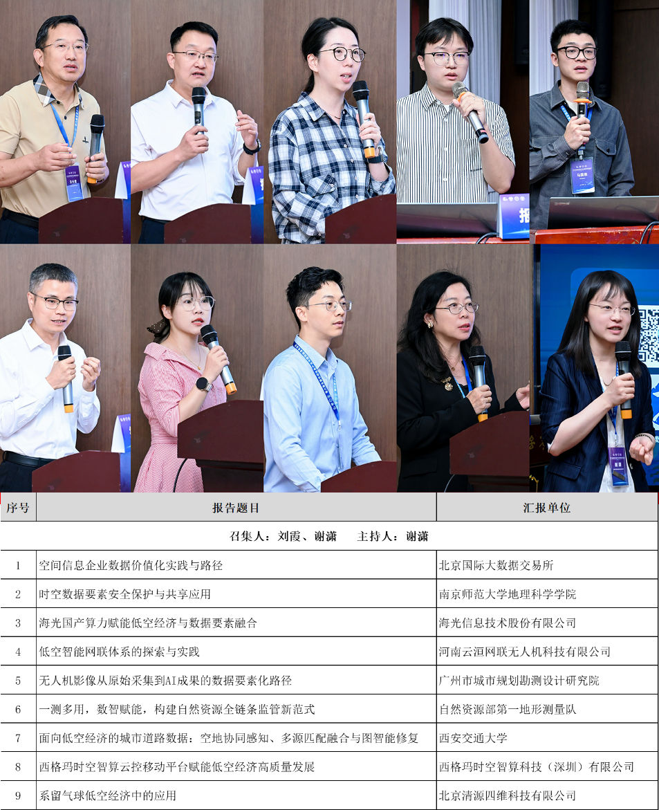
Photo 3: Silhouettes of presenters
Standing at the historical juncture where the aerospace information industry has risen to become a national strategy, the successful convening of the 6th National Conference on Spatial Information Industry and International Standardization has built an important platform for the industry to build consensus and deepen cooperation. Looking ahead, the spatial information industry will continue to enhance development quality through artificial intelligence, lead standardized development through international standards, deeply empower the construction of Digital China and the UN 2030 Agenda for Sustainable Development, and inject strong aerospace science and technology momentum into satellite internet, the low-altitude economy, smart city governance and global geospatial information governance. The next conference will be held in Wuhan. Let us look forward together to discussing the new blueprint for the development of the spatial information industry.
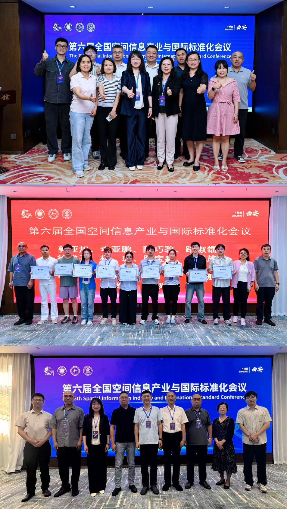
Photo 4: Award ceremony for outstanding reports at the sub-forum and group photo of organizers